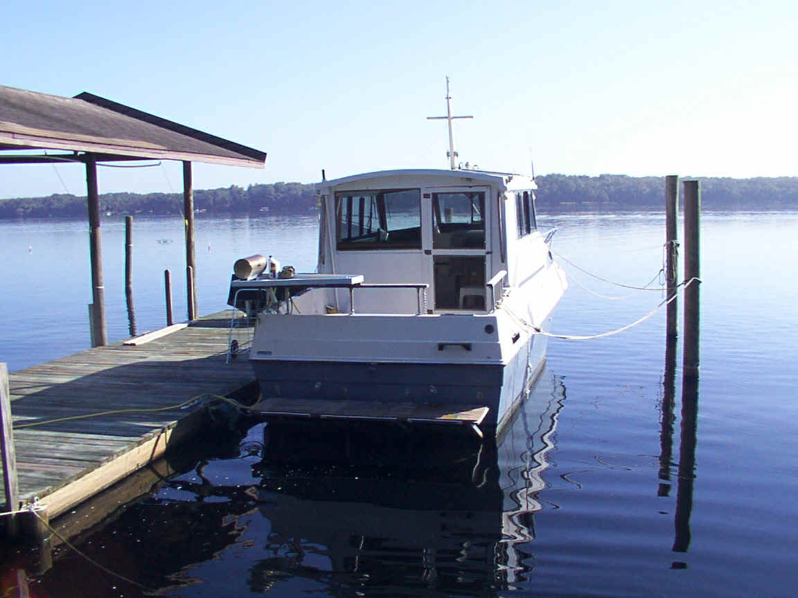
Little Ship
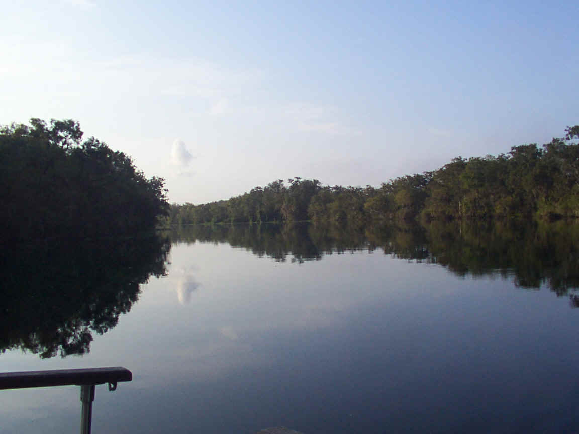
Quiet Morning at Anchor
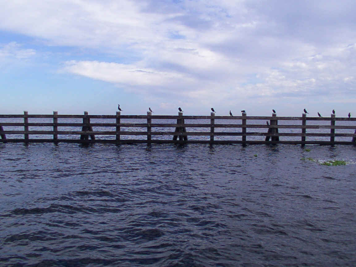
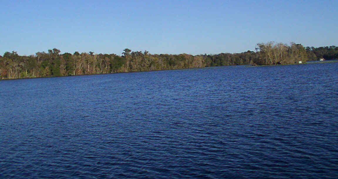
Lake George
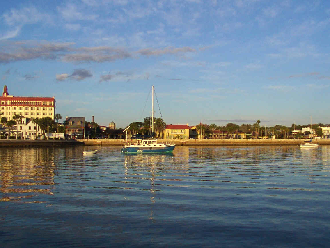
St. Augustine Anchorage
Turkey Island Anchorage, Welaka
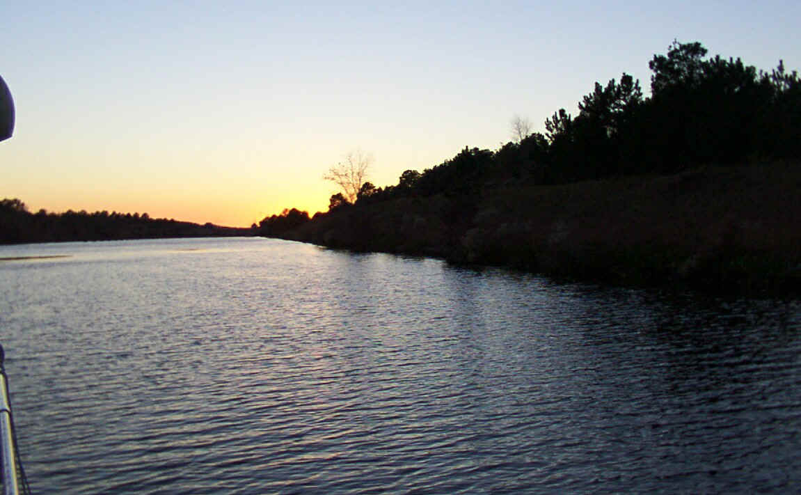
Cross-Florida Barge Canal, off of St. John's River
Anchorages
DISCLAIMER: This page requires a disclaimer. These are anchorages I have used with a 28' cruiser that draws 3-feet. The description gives you my impression of the anchorage. The latitude and longitude given are from my loran set. Use Good Seamanship! Exercise all due care in approaching any of these sites. I'm sorry, but I can't be responsible for the value or accuracy of the data given. Use it with discretion and good judgement. Some photos are also below.
With that, if you're in the area - enjoy. Hope this is of some value to you. The map references will come later.
No. |
Name |
Latitude |
Longitude |
Description |
Map |
1 |
ICW Marker 108, south of Marineland | 29º37.22’N |
81º12.48’W |
Very shallow with bars and oyster beds. Limited room to clear the ICW. | |
2 |
Tomoka River, north of Ormond Beach | 29º19.03’N |
81º05.35’W |
Run into the Tomoka River is treacherous and should be done the first time with an experienced pilot or shallow draft boat. Way in is unmarked and only 3 to 4 feet deep. Good water depth in the river. One low fixed bridge. Good, protected anchorages all through the river. Very Scenic. Five to eight feet deep at this point. | |
3 |
Seabreeze Bridges, Daytona Beach | 29º14.05’N 29º14.08’N 29º14.06’N 29º14.07’N |
81º01.28’W 81º01.41’W 81º01.39’W 81º01.38’W |
Good anchorage well off of ICW to the east. Use care leaving ICW due to submerged spoil piles. Water may be shallow near the east shore. Six to seven feet here. About a 2-foot tide change. | |
4 |
ICW Marker 49, south of New Symrna Beach | 29º00.21’N 29º00.22’N |
80º54.37’W 80º54.31’W |
Good, deep anchorage. Approach from the NW off of the ICW. Very shallow bars both sides of the channel that are dry at low tide. Once clear of the bars, can approach the island to the south quite close. | |
5 |
Granada Bridge, Ormond Beach | 29º17.32’N 29º17.37’N 29º17.37’N 27º17.79’N |
81º03.10’W 81º03.11’W 81º03.15’W 81º03.33’W |
East of the ICW, north of the bridge. Shallow anchorage (3 to 4-feet) with a poor bottom. Good clearance from the ICW. Shallow near bridge and shore. Best anchorage reached by turning SE at marker 17 towards the condos on the east shore. Go about half the distance from the ICW to the shore. | |
6 |
St. John’s River, Palatka | 29º39.10’N |
81º36.87’W |
Good, deep anchorage NE of Bridge. Large bay with protection from the east. | |
7 |
St. John’s River, Orange Park | 29º09.13’N |
81º41.52’W |
Near the I295 bridges at Jacksonville. Anchorage is near a marina on the north shore. Protected from the north in a large bay. | |
8 |
Bing’s Landing Public Park Dock, Palm Coast Area, ICW | 29º36.94’N |
81º12.23’W |
"Overnight camping is not allowed." Small park with a narrow, marked channel in. Good water depth and docking area. Very tight to turn around in. | |
9 |
St. Augustine, ICW | 29º53.75’N |
81º18.58’W |
North of the Bridge of Lions and right under the guns of the historic fort. Beautiful anchorage near the shore. Generally lots of boats at anchor. | |
more to be added later... |
|
|
|
|
|
|
|
|
|
Site hosted by Fortune
City
revised 3-21-99